Skylark Books


Welcome to Skylark Books
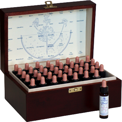
Skylark Books is a specialist shop which features a variety of products, including a selection of Anthroposophy books by Rudolf Steiner and other anthroposophical authors, a comprehensive selection of Bach Flower Essences and related products, and Solar Fire Astrology software.
There are also supplementary pages which give more information on these topics. To navigate to the sections you are interested in, just click on the shop department links above. This will then make available subcategory links so you can easily find the exact product category you are interested in.


We ship to most places in the world using UK Royal Mail’s Air Mail service. Delivery times vary depending on the destination country but are usually 2 – 3 weeks from the time of dispatch. Orders are usually sent with 48 hours of receiving the order.